Getting there
129 m above the Pambak river, which runs 1.0 km away in a straight line.
| From | Road distance | Drive time |
|---|---|---|
| Vanadzor | 22.9 km | 28 min |
| Alaverdi | 28.4 km | 32 min |
| Stepanavan | 46 km | 55 min |
| Yerevan | 138.1 km | 2 h 27 min |
| Tbilisi | 140.6 km | 2 h 38 min |
Details
- Type
- Campsite
- Where
- Vahagni
- Elevation
- 1,120 m
Photos taken nearby
From Wikimedia Commons, within 1 km. Click a photo for its author and licence.
Weather at Camping Area
Loading the forecast…
Forecast for 1,120 m from Open-Meteo.
Sights nearby
- Old Stone OvenRuins 350 m same level
- Anton KochinyanArtwork 450 m 46 m lower
- Gusan ZakaryanArtwork 500 m 46 m lower
- Middle Bronze Age Archaeological SiteArchaeological site 500 m 88 m higher
- Viewpoint in VahagniViewpoint 650 m same level
- Viewpoint in VahagniViewpoint 950 m 111 m lower
Nature nearby
- Fruit gardenGarden 0 m same level
- Raspberry FieldGarden 350 m same level
- Vahagni Toon Co-working SpaceGarden 400 m same level
- Vardumyanneri Tan AygiGarden 400 m same level
- Entrance to the monumentPark 600 m 28 m lower
Stay nearby
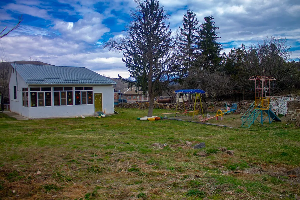
- Camping areaCampsite 350 m same level
- Arpi B&BGuesthouse 950 m 107 m lower
- Angar RestoranHotel 1.1 km 116 m lower
- Grand TonHotel 1.4 km 94 m lower
- Campsite near VahagnadzorCampsite 2.6 km 477 m higher
Eat nearby
- ANGAR restaurantRestaurant 1.1 km 116 m lower
- Lorva DzorRestaurant 1.2 km 149 m lower
- Restaurant in VahagnadzorRestaurant 1.4 km 94 m lower
- GetapRestaurant 2.8 km 91 m lower
- AnushRestaurant 3.2 km 70 m lower
Services nearby
- Fuel in VahagnadzorFuel 2.5 km 48 m lower
- Fuel near DzoragetFuel 3.1 km 168 m lower
- EV charging in DzoragetEV charging 3.2 km 160 m lower
- AmeriabankATM 3.2 km 171 m lower
- Fuel in DzoragetFuel 4.9 km 208 m lower
- HayPost 2035Post office 5.1 km 192 m lower
Distances in the "nearby" lists are straight-line; the height difference shows how much climbing a short distance can hide here.