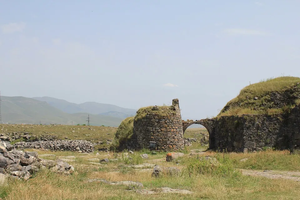
Lori fortress
Fortress, 11th c.
The ruined capital of the medieval Kiurikian kingdom, on a natural fortress between two gorges.
Լոռվա սարահարթ
Open grassland at 1,400 m, split by two sudden river gorges.
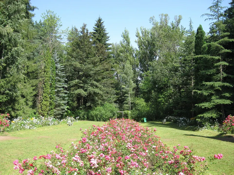
West of the canyon the land flattens into the high Lori plateau: hay meadows, pine forest and wide views of the Javakheti and Bazum ranges. Stepanavan is the small capital of this side; the eleventh-century Lori Berd fortress sits a few kilometres away on a spur between two gorges, and the Sochut dendropark hides in the forest above Gyulagarak. Cooler, greener and quieter than the canyon — good for slow travel, cycling and walking.
In this part of Lori: 42 sights, 18 places to stay, 8 places to eat, 52 natural sites.
Filter this area on the Explore map
Fortress, 11th c.
The ruined capital of the medieval Kiurikian kingdom, on a natural fortress between two gorges.
Arboretum, founded 1931
A 35-hectare forest garden planted by the Polish forester Edmund Leonowicz above Gyulagarak.
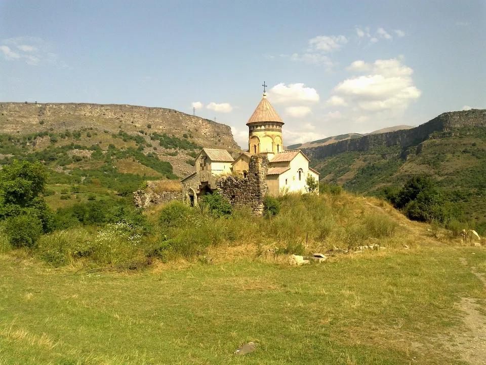
Monastery, 7th–12th c.
A monastery on a rock in the gorge where the Dzoraget and Gargar rivers meet.
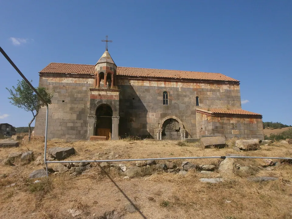
Church, 6th c.
A rare early-medieval church on the edge of Sverdlov village, north of Stepanavan.
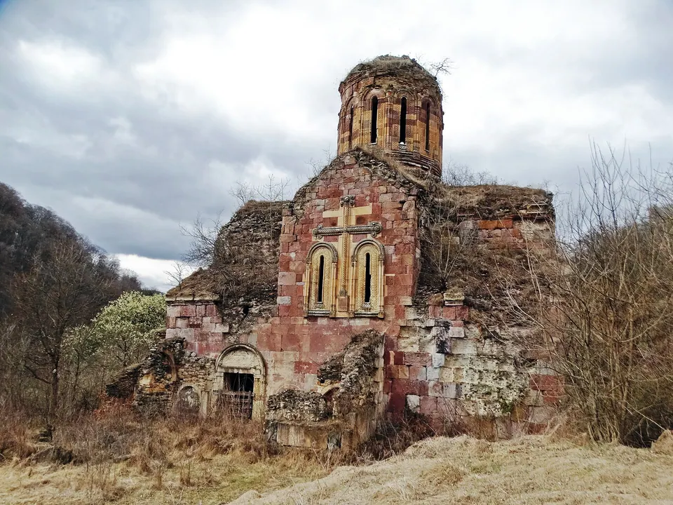
Monastery, medieval
A forest monastery on the Georgian border above Privolnoye.
English or հայերեն. Answers come only from this guide.
Monasteries, hikes, where to sleep, how long the drive is — ask anything about Lori.
Հարցրեք Լոռու մասին՝ վանքեր, արշավներ, գիշերակաց, ճանապարհի տևողություն։
Answers can be incomplete. Check opening hours and phone numbers on the place page.