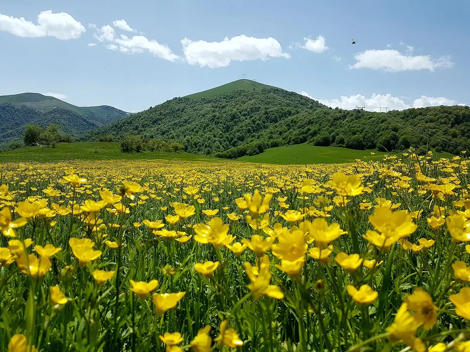
Dilijan National Park is one of the four national parks of Armenia. Occupying an area of 240 km², it is located in the north-eastern Tavush Province of Armenia. It is known for its forest landscapes, rich biodiversity, medicinal mineral water springs, natural and cultural monuments, and extensive network of hiking trails.
Getting there
No mapped road reaches it: the nearest road is about 500 m away, so plan to walk the last stretch.
| From | Road distance | Drive time |
|---|---|---|
| Vanadzor | 51.8 km | 1 h 08 min |
| Alaverdi | 94.8 km | 1 h 54 min |
| Stepanavan | 86.6 km | 1 h 48 min |
| Yerevan | 110.4 km | 2 h 02 min |
| Tbilisi | 189.3 km | 3 h 35 min |
Details
- Type
- Nature reserve
- Where
- 19 km from Fioletovo (straight line)
- Elevation
- 1,641 m
Light
Golden hour is when the sun is less than 6° above the horizon — the warm light for photos. In deep gorges the sun leaves the valley floor earlier.
Photos taken nearby
From Wikimedia Commons, within 1 km. Click a photo for its author and licence.
Weather at Dilijan National Park
Loading the forecast…
Forecast for 1,641 m from Open-Meteo.
Distances in the "nearby" lists are straight-line; the height difference shows how much climbing a short distance can hide here.