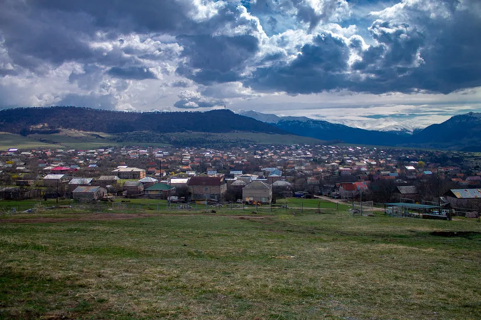
Dsegh, known as Tumanyan between 1938 and 1969, is a village in the Lori Province of Armenia. It is located about 13 km south of the city of Alaverdi, on the high right bank of the Debed River, on a peninsula surrounded by forests, on the western side of which is the Debed Gorge.
Getting there
318 m above the Debed river, which runs 1.1 km away in a straight line.
| From | Road distance | Drive time |
|---|---|---|
| Vanadzor | 30.8 km | 32 min |
| Alaverdi | 28.3 km | 29 min |
| Stepanavan | 48.6 km | 55 min |
| Yerevan | 146 km | 2 h 32 min |
| Tbilisi | 140.5 km | 2 h 35 min |
Details
- Type
- Village
- Where
- Debed Canyon
- Elevation
- 1,207 m
- Population
- 2,043
Light
Golden hour is when the sun is less than 6° above the horizon — the warm light for photos. In deep gorges the sun leaves the valley floor earlier.
Photos taken nearby
From Wikimedia Commons, within 1 km. Click a photo for its author and licence.
Weather at Dsegh
Loading the forecast…
Forecast for 1,207 m from Open-Meteo.
Sights nearby
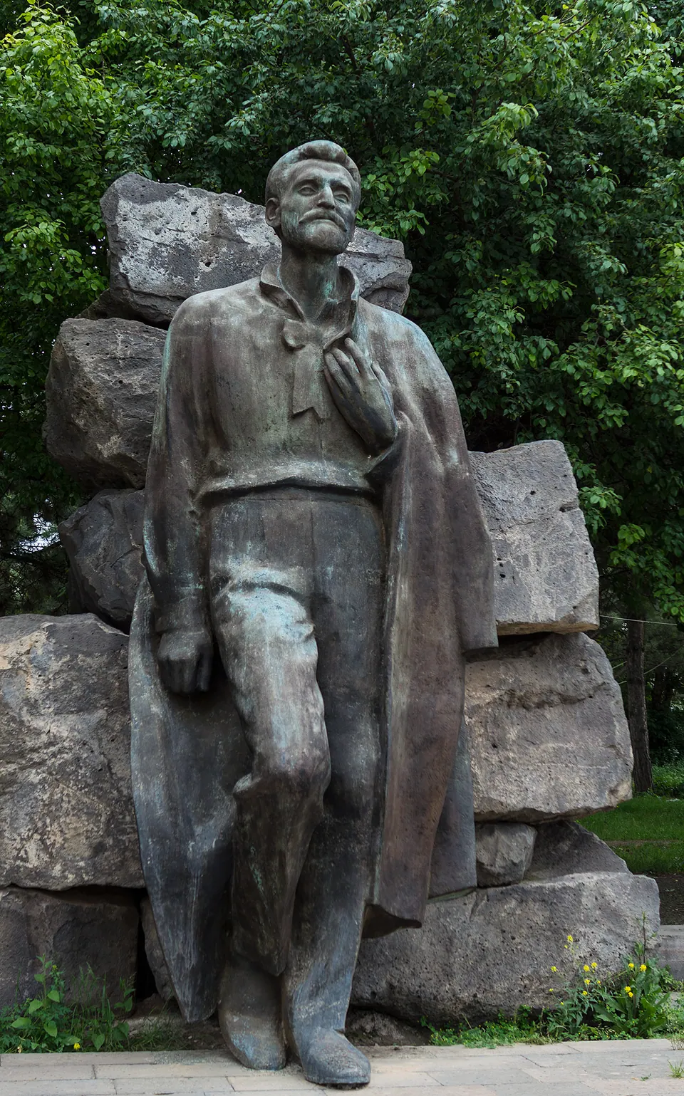
- Hovhannes TumanyanMonument 50 m same level
- Hovhannes Tumanyan House MuseumMuseum 200 m same level
- Karasun MankantsAttraction 800 m 116 m lower
- Viewpoint in DseghViewpoint 1.7 km 57 m lower
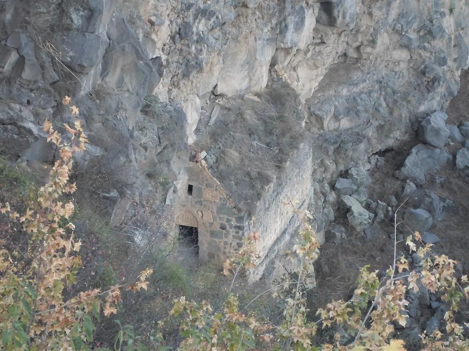
- Surb Harutyun chapelShrine 1.8 km 71 m lower
- Sirun Khach KhachkarKhachkar / wayside cross 1.9 km 169 m lower
- Surb AstvatsatsinChurch 1.9 km 97 m lower
- Single-nave churchChurch 1.9 km 97 m lower
- Chgnavor MonasteryChurch 2.4 km same level
- Viewpoint in TsaterViewpoint 2.4 km same level
Nature nearby
- DidPeak 1000 m 65 m higher
- BerdakPeak 2.5 km 321 m higher
- Tsover LakeWater 3.1 km 173 m higher
- TsovakarPeak 3.4 km 400 m higher
- TsitskarPeak 3.6 km 233 m lower
Stay nearby
- Agha-Bek B&BGuesthouse 250 m same level
- Tourism Unique CenterCampsite 550 m same level
- TamaraGuesthouse 850 m 35 m higher
- Kaghni HotelHotel 1.1 km same level
- Hotel in TsaterHotel 1.2 km 311 m lower
- Tufenkian Avan Dzoraget HotelHotel 1.3 km 328 m lower
- HyugaHotel 1.5 km same level
- WOW GlampingCampsite 1.7 km 114 m higher
- Tsater GuesthouseGuesthouse 2.0 km same level
- Dzoragyugh Vacation HomeGuesthouse 3.4 km 25 m higher
Eat nearby
- DzoreniRestaurant 800 m 60 m lower
- Restaurant in DseghRestaurant 1.1 km 322 m lower
- Hats u PanirRestaurant 3.4 km 27 m higher
- COAF Debed Canyon Visitor CenterCafe 4.3 km 258 m lower
- Cafe in DzoragetCafe 4.4 km 247 m lower
- Flying Samovar CafeCafe 4.4 km 369 m lower
Services nearby
- Team EnergyEV charging 1.4 km 283 m lower
- Team EnergyEV charging 1.4 km 283 m lower
- HayPost 2035Post office 2.5 km 279 m lower
- Fuel in TumanyanFuel 2.7 km 370 m lower
- Fuel in DzoragetFuel 2.8 km 295 m lower
Distances in the "nearby" lists are straight-line; the height difference shows how much climbing a short distance can hide here.