Getting there
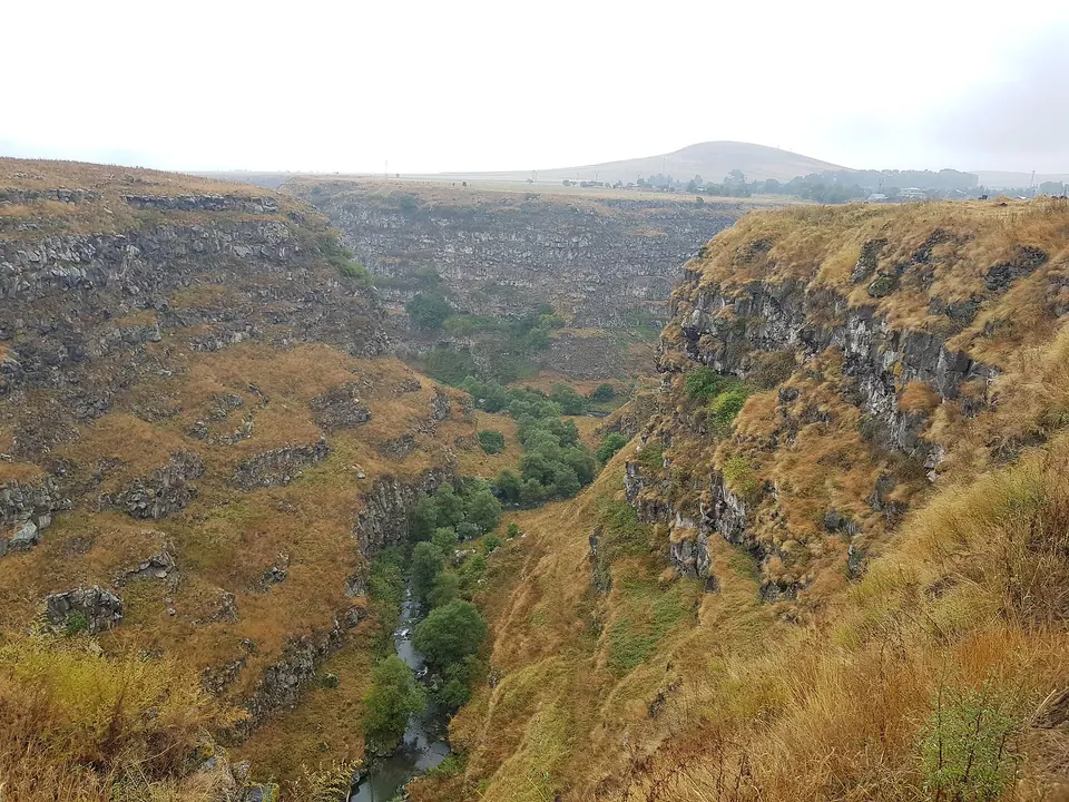
464 m above the Mendzor river, which runs 1.2 km away in a straight line.
| From | Road distance | Drive time |
|---|---|---|
| Vanadzor | 62.4 km | 3 h 15 min |
| Alaverdi | 51.4 km | 3 h 01 min |
| Stepanavan | 27.4 km | 2 h 36 min |
| Yerevan | 165.9 km | 4 h 58 min |
| Tbilisi | 161.5 km | 4 h 43 min |
Details
- Type
- Peak
- Where
- 3.3 km from Hovnadzor (straight line)
- Elevation
- 2,124 m
Light
Golden hour is when the sun is less than 6° above the horizon — the warm light for photos. In deep gorges the sun leaves the valley floor earlier.
Photos taken nearby
From Wikimedia Commons, within 1 km. Click a photo for its author and licence.
Weather at Dzhar
Loading the forecast…
Forecast for 2,124 m from Open-Meteo.
Sights nearby
- Yaghdan BridgeAttraction 4.8 km 814 m lower
- Yaghdan churchChurch 4.9 km 780 m lower
- Astvatsatsin YekeghetsiChurch 6.7 km 33 m higher
- Getnandzav KarandzavAttraction 7.2 km 766 m lower
- Jgrashen YekeghetsiChurch 7.3 km 798 m lower
- Lori KamurjMonument 7.3 km 785 m lower
Nature nearby
- MetstunPeak 1.5 km 40 m higher
- MijurtPeak 2.0 km 288 m lower
- TashatskarPeak 2.1 km 206 m higher
- LurtasarPeak 2.8 km 34 m lower
- VardutPeak 2.9 km 229 m higher
Stay nearby
- Lori lejanApartment 4.6 km 615 m lower
- Spot for wildcampingCampsite 7.6 km 809 m lower
- Nagvi ResortGuesthouse 7.7 km 1,007 m lower
- Campsite in AmrakitsCampsite 7.8 km 752 m lower
- Hotel OdzunHotel 8.0 km 793 m lower
Eat nearby
- Cafe in StepanavanCafe 9.9 km 726 m lower
Services nearby
- Haypost 1906Post office 4.7 km 748 m lower
- Fuel in AmrakitsFuel 7.9 km 747 m lower
Distances in the "nearby" lists are straight-line; the height difference shows how much climbing a short distance can hide here.