Getting there
60 m above the Debed river, which runs 200 m away in a straight line.
| From | Road distance | Drive time |
|---|---|---|
| Vanadzor | 44.9 km | 47 min |
| Alaverdi | 2.7 km | 4 min |
| Stepanavan | 39 km | 38 min |
| Yerevan | 160.1 km | 2 h 46 min |
| Tbilisi | 114.9 km | 2 h 10 min |
Details
- Type
- Fuel
- Where
- Akori
- Elevation
- 791 m
Photos taken nearby
From Wikimedia Commons, within 1 km. Click a photo for its author and licence.
Weather at Fuel in Akori
Loading the forecast…
Forecast for 791 m from Open-Meteo.
Sights nearby
- Saint Gevorg Church (Akori)Church 800 m 243 m higher
- Viewpoint in AlaverdiViewpoint 1.7 km 66 m higher
- Viewpoint in AmojViewpoint 2.1 km 256 m higher
- UfoArtwork 2.2 km 53 m lower
- Bgavor ChurchChurch 2.6 km 598 m higher
- National Museum of Armenia(Alaverdi Branch)Museum 2.8 km 73 m lower

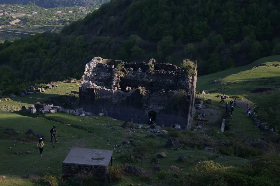
Nature nearby
Stay nearby
- IrisHotel 300 m same level
- Rubina Guest HouseGuesthouse 450 m same level
- StationHostel 1.1 km 43 m lower
- Armbee HotelGuesthouse 1.6 km 113 m higher
- Guest House In AlaverdiGuesthouse 1.8 km 28 m higher
Eat nearby
- Cafe in AlaverdiCafe 2.1 km 72 m lower
- LcherCafe 2.2 km 65 m lower
- Cafe in AlaverdiCafe 2.2 km 156 m higher
- Mendz EnCafe 2.2 km 150 m higher
- BistroFast food 2.2 km 53 m lower
Services nearby
- CPSFuel 850 m 37 m lower
- FoodConvenience store 1000 m same level
- Fuel in AlaverdiFuel 1000 m 45 m lower
- Max OilFuel 1.0 km 45 m lower
- Fuel in AlaverdiFuel 1.5 km 63 m lower
- Fuel in AlaverdiFuel 1.7 km 59 m lower
Distances in the "nearby" lists are straight-line; the height difference shows how much climbing a short distance can hide here.