Getting there
408 m above the Debed river, which runs 1.0 km away in a straight line.
| From | Road distance | Drive time |
|---|---|---|
| Vanadzor | 59.7 km | 1 h 23 min |
| Alaverdi | 12 km | 32 min |
| Stepanavan | 53.8 km | 1 h 14 min |
| Yerevan | 174.9 km | 3 h 22 min |
| Tbilisi | 123.3 km | 2 h 37 min |
Details
- Type
- Castle
- Where
- Sanahin
- Elevation
- 1,113 m
Light
Golden hour is when the sun is less than 6° above the horizon — the warm light for photos. In deep gorges the sun leaves the valley floor earlier.
Photos taken nearby
From Wikimedia Commons, within 1 km. Click a photo for its author and licence.
Weather at Koshaberd Fortress
Loading the forecast…
Forecast for 1,113 m from Open-Meteo.
Sights nearby
- Church of Saint Gregory of Narek, AlaverdiChurch 1.1 km 394 m lower
- Sanahin BridgeBridge 1.2 km 408 m lower
- Sanahin bridgeAttraction 1.2 km 408 m lower
- Viewpoint in AlaverdiViewpoint 1.3 km 379 m lower
- National Museum of Armenia(Alaverdi Branch)Museum 1.5 km 395 m lower
- Mikoyan Brothers MuseumMuseum 1.9 km 130 m lower
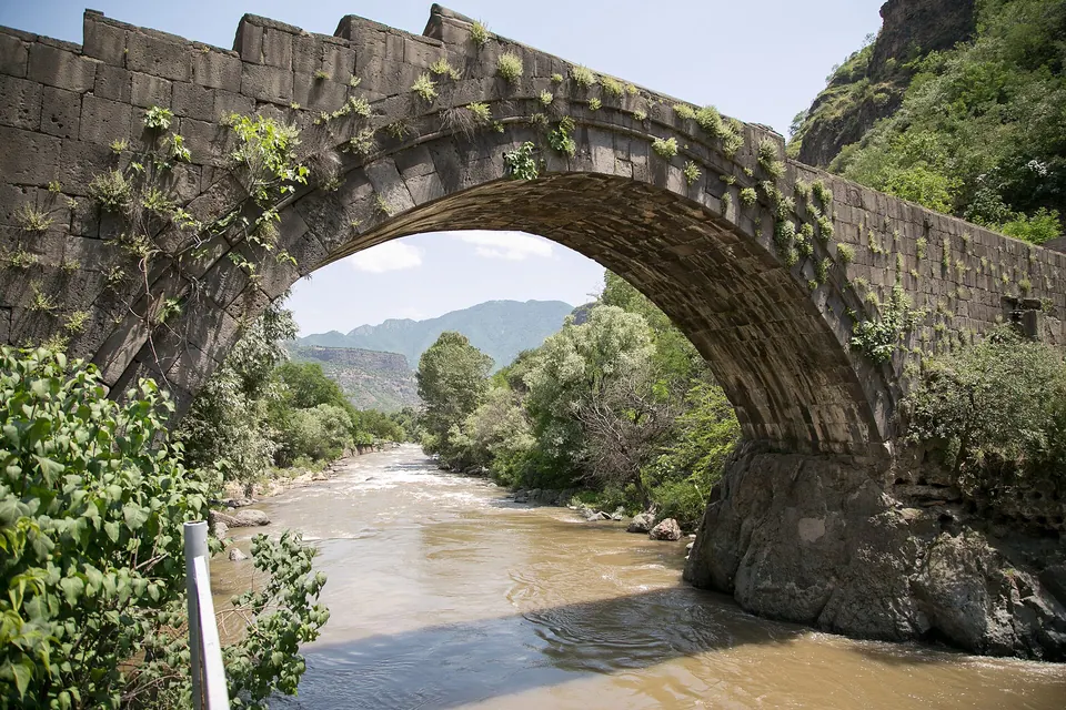
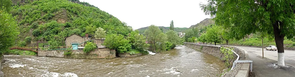
Nature nearby
Stay nearby
- Vallex GardenHotel 1.0 km 391 m lower
- LalvarHotel 1.1 km 407 m lower
- Sanahin Bridge Lounge HotelHotel 1.9 km 127 m lower
- Mini House HostelHostel 2.0 km 124 m lower
- Pottery House SanahinGuesthouse 2.0 km 114 m lower
Eat nearby
- Restaurant in SanahinRestaurant 1.0 km 415 m lower
- Vallex GardenRestaurant 1.1 km 399 m lower
- PegasRestaurant 1.1 km 416 m lower
- Cafe in SanahinCafe 1.2 km 403 m lower
- Cafe in SanahinCafe 1.2 km 403 m lower
Services nearby
- EV charging in SanahinEV charging 1.0 km 391 m lower
- Fuel in SanahinFuel 1.2 km 404 m lower
- HayPost 1701Post office 1.2 km 379 m lower
- ACBABank 1.4 km 384 m lower
- ACBAATM 1.4 km 384 m lower
- ArmeconombankBank 1.5 km 395 m lower
Distances in the "nearby" lists are straight-line; the height difference shows how much climbing a short distance can hide here.