Getting there
513 m above the Lejanjur river, which runs 1.8 km away in a straight line.
No mapped road reaches it: the nearest road is about 700 m away, so plan to walk the last stretch.
| From | Road distance | Drive time |
|---|---|---|
| Vanadzor | 47.8 km | 1 h 25 min |
| Alaverdi | 43.7 km | 1 h 15 min |
| Stepanavan | 12.8 km | 45 min |
| Yerevan | 151.3 km | 3 h 07 min |
| Tbilisi | 146.9 km | 2 h 53 min |
Details
- Type
- Peak
- Where
- 3.1 km from Urut (straight line)
- Elevation
- 2,294 m
Light
Golden hour is when the sun is less than 6° above the horizon — the warm light for photos. In deep gorges the sun leaves the valley floor earlier.
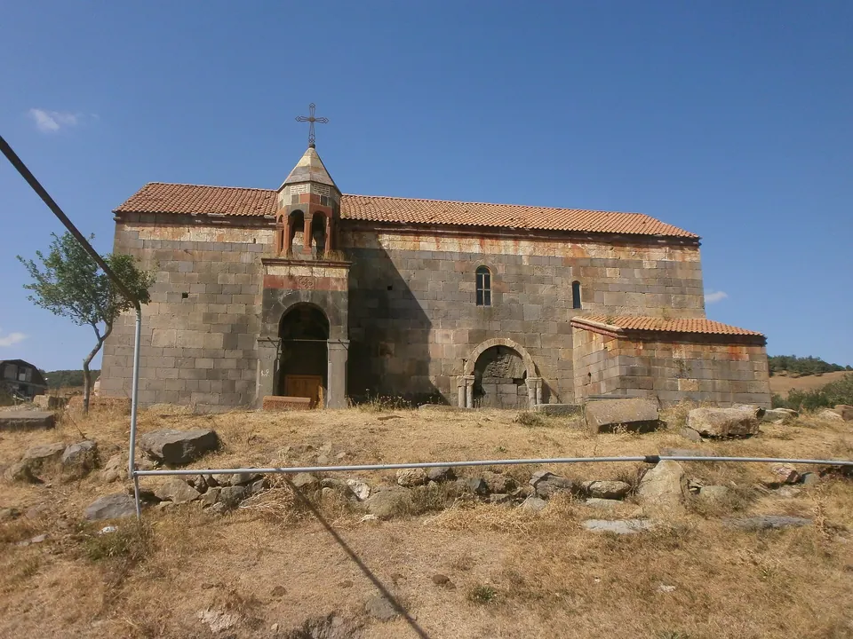
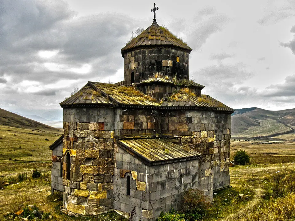
Photos taken nearby
From Wikimedia Commons, within 1 km. Click a photo for its author and licence.
Weather at Kotratssar
Loading the forecast…
Forecast for 2,294 m from Open-Meteo.
Sights nearby
- St. George Church, Sverdlov (village church)Church 3.7 km 780 m lower
- St. George Church, SverdlovChurch 3.8 km 753 m lower
- DorbandavankChurch 4.3 km 695 m lower
- Astvatsatsin YekeghetsiChurch 5.0 km 137 m lower
- Spitak YekeghetsiChurch 6.3 km 750 m lower
- Surb AmenaprkichChurch 6.3 km 750 m lower
Nature nearby
- GalustisarPeak 1.4 km 203 m lower
- ArevkaPeak 3.0 km 150 m lower
- SalutPeak 3.4 km 281 m lower
- KlorkarPeak 3.7 km 512 m lower
- MijurtPeak 4.5 km 458 m lower
Stay nearby
- Lori lejanApartment 4.7 km 785 m lower
- Guesthouse in StepanavanGuesthouse 7.2 km 874 m lower
- Hotel in Lori BerdHotel 8.1 km 906 m lower
- RuzannaGuesthouse 8.3 km 894 m lower
- LoriHotel 8.4 km 890 m lower
Eat nearby
- Cafe in StepanavanCafe 8.1 km 896 m lower
- Inna PizzaFast food 8.2 km 900 m lower
- SlobodkaRestaurant 8.5 km 891 m lower
- CarahungeCafe 8.6 km 888 m lower
- Major’s houseRestaurant 9.2 km 862 m lower
Services nearby
- Stepanavan Medical CenterHospital 6.7 km 871 m lower
- PharmacyPharmacy 7.5 km 881 m lower
- Fuel in StepanavanFuel 7.5 km 897 m lower
- SmaylConvenience store 7.6 km 887 m lower
- Fuel in StepanavanFuel 7.8 km 878 m lower
- Haypost 1906Post office 7.8 km 918 m lower
Distances in the "nearby" lists are straight-line; the height difference shows how much climbing a short distance can hide here.