Getting there
348 m above the Antaramut river, which runs 1.8 km away in a straight line.
| From | Road distance | Drive time |
|---|---|---|
| Vanadzor | 23.6 km | 1 h 01 min |
| Alaverdi | 38.8 km | 1 h 17 min |
| Stepanavan | 57.2 km | 1 h 39 min |
| Yerevan | 138.8 km | 3 h 00 min |
| Tbilisi | 151 km | 3 h 24 min |
Details
- Type
- Campsite
- Where
- 3.4 km from Antaramut (straight line)
- Elevation
- 1,839 m
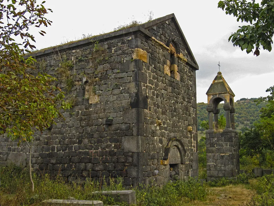
Photos taken nearby
From Wikimedia Commons, within 1 km. Click a photo for its author and licence.
Weather at Naghabeki Urt Kochvogh Vayry
Loading the forecast…
Forecast for 1,839 m from Open-Meteo.
Sights nearby
- Viewpoint near VahagnadzorViewpoint 3.9 km 135 m lower
- Viewpoint in VahagnadzorViewpoint 4.3 km 137 m lower
- Aygek Church (semi ruined)Ruins 4.9 km 642 m lower
- Hagni / Veruhagni Ancient Settlement ruins (currently used as pasture)Archaeological site 5.0 km 524 m lower
- Holy Mother of God Church, KurtanChurch 5.4 km 584 m lower
- Yekeghetsi Surb SargisChurch 5.4 km 311 m lower
Nature nearby
- Vardmants Gomeri LchakyWater 1.6 km 386 m lower
- VahagniPeak 1.6 km 32 m lower
- QarhatPeak 3.0 km 391 m higher
- MtinPeak 3.2 km same level
- PotskhasarPeak 3.6 km 34 m higher
Stay nearby
- Wilderness hut near AntaramutWilderness hut 1.2 km 325 m lower
- Wilderness hut near AntaramutWilderness hut 1.2 km 346 m lower
- Campsite near AntaramutCampsite 1.6 km 396 m lower
- Wilderness hut near VahagnadzorWilderness hut 2.7 km 294 m lower
- Campsite near VahagnadzorCampsite 3.9 km 242 m lower
Eat nearby
- GetapRestaurant 5.7 km 810 m lower
- AnushRestaurant 6.2 km 789 m lower
- Restaurant in VahagnadzorRestaurant 6.7 km 813 m lower
- ANGAR restaurantRestaurant 7.1 km 835 m lower
- Lorva DzorRestaurant 7.5 km 868 m lower
Services nearby
- HayPost 1914Post office 5.6 km 576 m lower
- Fuel in VahagnadzorFuel 5.7 km 767 m lower
- HaypostPost office 6.7 km 523 m lower
- Vardabluri Bzhshkakan AmbulatoriaHospital 6.9 km 520 m lower
- Fuel near PambakFuel 7.8 km 587 m lower
- Fuel near DzoragetFuel 7.9 km 887 m lower
Distances in the "nearby" lists are straight-line; the height difference shows how much climbing a short distance can hide here.