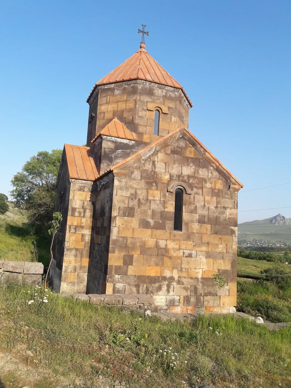
Shirakamut or previously Nalband is a village in the Lori Province of Armenia. The town was the epicenter of 1988 Armenian earthquake.
Getting there
On the Pambak river.
| From | Road distance | Drive time |
|---|---|---|
| Vanadzor | 30.7 km | 31 min |
| Alaverdi | 75.7 km | 1 h 18 min |
| Stepanavan | 52.7 km | 53 min |
| Yerevan | 108.3 km | 1 h 51 min |
| Tbilisi | 187.9 km | 3 h 02 min |
Details
- Type
- Village
- Where
- Spitak & the west
- Elevation
- 1,653 m
- Population
- 2,270
Light
Golden hour is when the sun is less than 6° above the horizon — the warm light for photos. In deep gorges the sun leaves the valley floor earlier.
Photos taken nearby
From Wikimedia Commons, within 1 km. Click a photo for its author and licence.
Weather at Shirakamut
Loading the forecast…
Forecast for 1,653 m from Open-Meteo.
Sights nearby
- ChichkhanavankChurch 1.6 km same level
- Caves of GeghasarArchaeological site 2.5 km same level
- Chapel Surb Astvatsatsin (St. Mother of God)Church 3.3 km 347 m higher
- ChapelChurch 3.5 km 86 m higher
- Mets Parnii YekeghetsiChurch 4.6 km 58 m higher
- Kyasants GomeryHistoric 5.0 km 259 m higher
- ShinarmatRuins 5.1 km 282 m higher
- Gogaran churchChurch 5.5 km 211 m higher
Nature nearby
- Zuygaghbyur (Keri Aghbyur)Spring 4.7 km 230 m higher
- MetsmatPeak 5.1 km 547 m higher
- VochlotPeak 7.1 km 506 m higher
- AqloraverPeak 7.3 km 786 m higher
- QarajayrPeak 7.6 km 431 m higher
Stay nearby
- Gagik Palyan's houseGuesthouse 3.5 km 57 m higher
Services nearby
- BeryozkaConvenience store 200 m same level
- Fuel in ShirakamutFuel 700 m same level
- Katnajur HatsBakery 3.6 km 26 m higher
Distances in the "nearby" lists are straight-line; the height difference shows how much climbing a short distance can hide here.