Read about Tagavoranist on Wikipedia
Getting there
54 m above the Tandzut river, which runs 100 m away in a straight line.
| From | Road distance | Drive time |
|---|---|---|
| Vanadzor | 2.7 km | 6 min |
| Alaverdi | 47.8 km | 52 min |
| Stepanavan | 37.5 km | 45 min |
| Yerevan | 119.1 km | 2 h 06 min |
| Tbilisi | 172.8 km | 2 h 54 min |
Details
- Type
- Archaeological site
- Where
- Vanadzor
- Elevation
- 1,362 m
Light
Golden hour is when the sun is less than 6° above the horizon — the warm light for photos. In deep gorges the sun leaves the valley floor earlier.
Photos taken nearby
From Wikimedia Commons, within 1 km. Click a photo for its author and licence.
Weather at Tagavoranist
Loading the forecast…
Forecast for 1,362 m from Open-Meteo.
Sights nearby
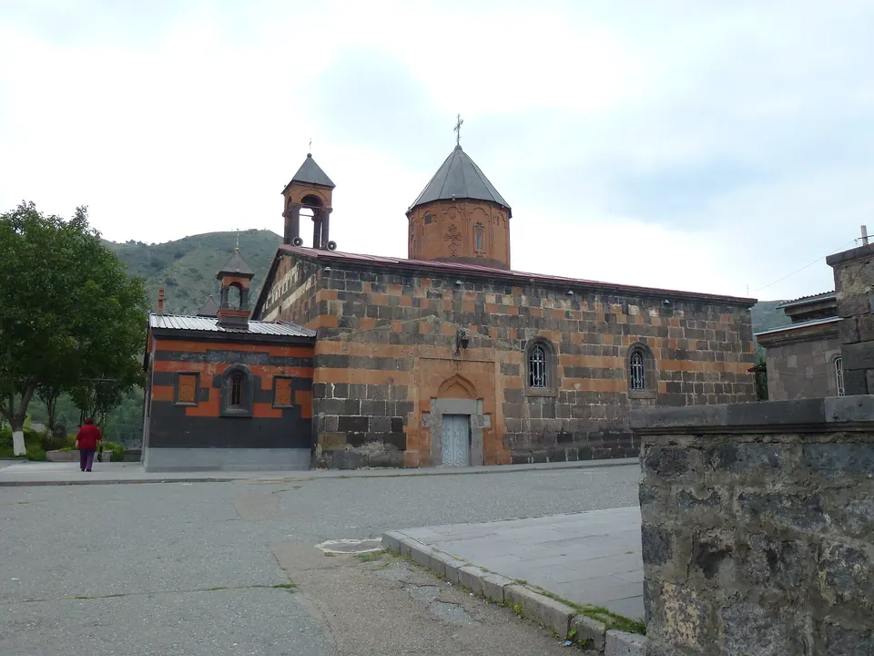
- Holy Mother of God ChurchChurch 400 m 51 m lower
- Vanadzor Museum of Fine ArtsMuseum 800 m 32 m lower
- Viewpoint in VanadzorViewpoint 1000 m 28 m lower
- Sayat-NovaArtwork 1.2 km same level
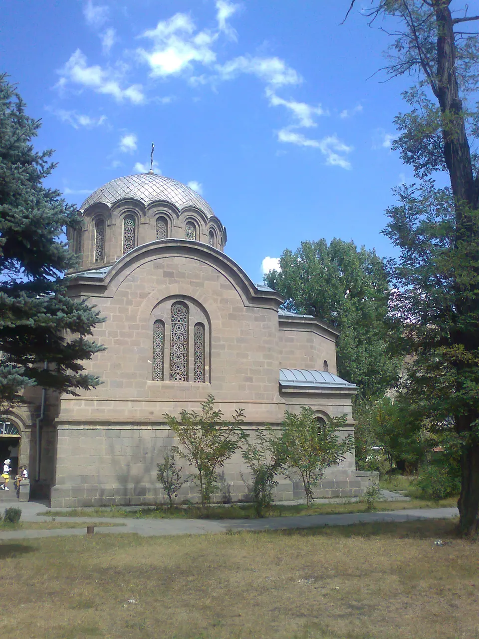
- Nativity church of the Blessed Virgin MaryChurch 1.2 km 47 m lower
- St. Grigor Narekatsi ChurchChurch 1.2 km same level
Nature nearby
- Ttu djurSpring 600 m 38 m lower
- Artsakh ParkPark 1.0 km 31 m lower
- Sayat-Nova ParkPark 1.2 km same level
- Park near Zoryan House MuseumPark 1.3 km same level
- Hrant Matevosyan Park (Railway Workers' Park)Park 1.3 km 44 m lower
Stay nearby
- AuRoomHotel 250 m 51 m lower
- HermesHotel 600 m 41 m lower
- BaronHotel 750 m 31 m lower
- KirovakanHotel 950 m same level
- Hotel in VanadzorHotel 950 m 25 m lower
Eat nearby
- RiveronRestaurant 150 m 43 m lower
- Navak RestaurantRestaurant 300 m 59 m lower
- MilagroRestaurant 500 m 45 m lower
- MaderaRestaurant 550 m 40 m lower
- SkuteghCafe 550 m 42 m lower
Services nearby
- Fuel in VanadzorFuel 350 m 56 m lower
- Alco CityWine & spirits 400 m 48 m lower
- Fuel in VanadzorFuel 450 m 46 m lower
- Fuel in VanadzorFuel 450 m 25 m lower
- V․n․s․ YeryakFuel 500 m 43 m lower
- EV charging in VanadzorEV charging 600 m 37 m lower
Distances in the "nearby" lists are straight-line; the height difference shows how much climbing a short distance can hide here.