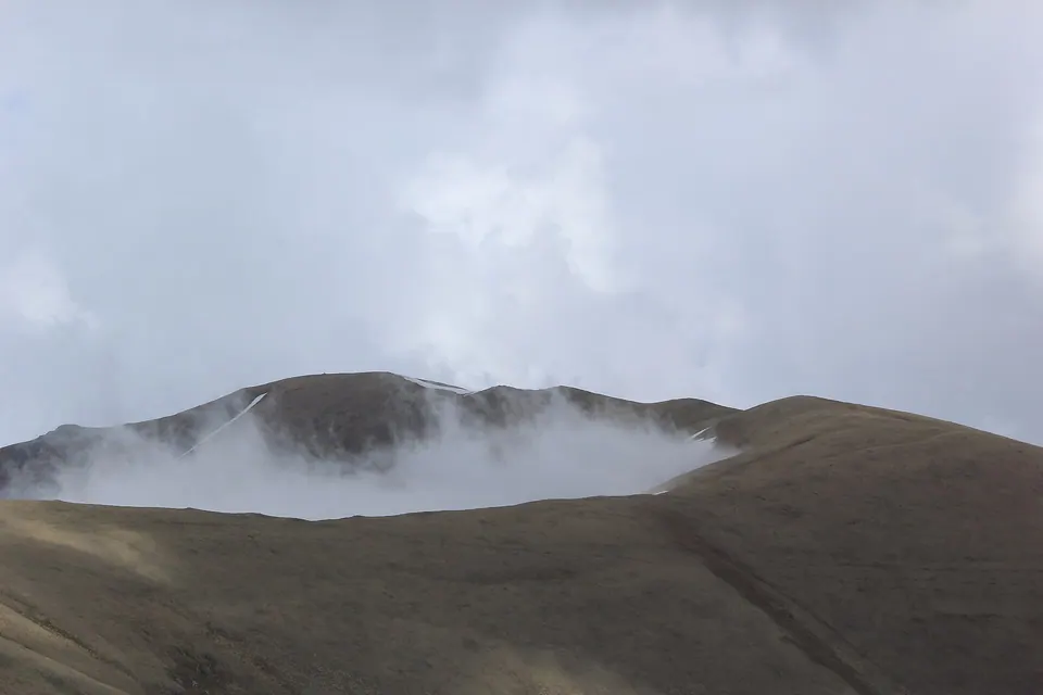
Mountain in Armenia.
Read about Urasar on Wikipedia
Getting there
323 m above the Դեղին river, which runs 2.3 km away in a straight line.
No mapped road reaches it: the nearest road is about 3.2 km away, so plan to walk the last stretch.
| From | Road distance | Drive time |
|---|---|---|
| Vanadzor | 53.2 km | 1 h 26 min |
| Alaverdi | 98.2 km | 2 h 13 min |
| Stepanavan | 80.6 km | 1 h 38 min |
| Yerevan | 130.8 km | 2 h 46 min |
| Tbilisi | 183.2 km | 3 h 16 min |
Details
- Type
- Peak
- Where
- 11 km from Katnaghbyur (straight line)
- Elevation
- 2,992 m
Light
Golden hour is when the sun is less than 6° above the horizon — the warm light for photos. In deep gorges the sun leaves the valley floor earlier.
Photos taken nearby
From Wikimedia Commons, within 1 km. Click a photo for its author and licence.
Weather at Urasar
Loading the forecast…
Forecast for 2,992 m from Open-Meteo.
Sights nearby
- Viewpoint near KathnaratViewpoint 5.7 km 729 m lower
- Viewpoint near SaralanjViewpoint 6.7 km 1,153 m lower
- Viewpoint near SaralanjViewpoint 6.8 km 1,153 m lower
- Viewpoint near SaralanjViewpoint 6.8 km 1,164 m lower
- Viewpoint near KathnaratViewpoint 7.5 km 1,178 m lower
- Hianali Tesarannerov DitavayrViewpoint 7.8 km 1,030 m lower
Nature nearby
- NorakunqSpring 2.5 km 296 m lower
- ErkaynasarPeak 3.0 km 95 m lower
- SevakatarPeak 3.3 km 187 m lower
- ArotasarPeak 7.4 km 340 m lower
- AqloraverPeak 7.4 km 553 m lower
Distances in the "nearby" lists are straight-line; the height difference shows how much climbing a short distance can hide here.