Three slow days in the canyon
Walk between villages and monasteries instead of driving between them.
3 days from Vanadzor. On foot, minibus and taxi. 57 km and about 1 h 22 min of driving between the stops.
Open the route in Google Maps
Day 1: Dsegh
24.6 km by road, about 40 min at the wheel (without stops). GPX
-
Museum
Minibus to Tumanyan, taxi up to Dsegh.
-
Drive 24.6 km, about 40 min, climbing 584 m
Church
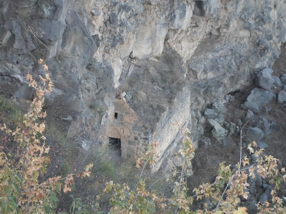
Walk to the cliff-side hermitage.
Road elevation, day 1. Highest point 1,255 m, lowest 927 m. Terrain model: Copernicus DEM (~90 m), via Open-Meteo. Day 2: Kobayr and Odzun
16.6 km by road, about 20 min at the wheel (without stops). GPX
-
Monastery
Down to the canyon floor and up the cliff path.
-
Drive 14.2 km, about 15 min, climbing 617 m
Church
Taxi up from the highway; sleep in Odzun.
-
Drive 2.4 km, about 5 min
Monastery
Two groups of churches on the cliffs just south of Odzun.
Road elevation, day 2. Highest point 1,130 m, lowest 768 m. Terrain model: Copernicus DEM (~90 m), via Open-Meteo. Day 3: Haghpat to Sanahin
16.0 km by road, about 22 min at the wheel (without stops). GPX
-
Monastery
A UNESCO-listed monastery village above the Debed, founded in the 970s by the Bagratid queen Khosrovanuysh.
-
Drive 3.9 km, about 5 min, climbing 168 m
Fortress
A small fortress on a spur below Haghpat that once protected the monastery.
-
Drive 12.1 km, about 17 min, climbing 503 m
Monastery
Walk the old path across the Akner gorge.
Road elevation, day 3. Highest point 1,047 m, lowest 666 m. Terrain model: Copernicus DEM (~90 m), via Open-Meteo. Before you go
- Download offline maps — mobile coverage drops in the gorge.
Road distances and times from OSRM on OpenStreetMap roads; real driving is slower on mountain roads and in villages.