Getting there
111 m above the Berdajur river, which runs 1.7 km away in a straight line.
No mapped road reaches it: the nearest road is about 500 m away, so plan to walk the last stretch.
| From | Road distance | Drive time |
|---|---|---|
| Vanadzor | 66.8 km | 1 h 31 min |
| Alaverdi | 20.3 km | 43 min |
| Stepanavan | 60.9 km | 1 h 22 min |
| Yerevan | 181.9 km | 3 h 31 min |
| Tbilisi | 121.3 km | 2 h 33 min |
Details
- Type
- Peak
- Where
- Haghpat
- Elevation
- 1,426 m
Light
Golden hour is when the sun is less than 6° above the horizon — the warm light for photos. In deep gorges the sun leaves the valley floor earlier.
Photos taken nearby
From Wikimedia Commons, within 1 km. Click a photo for its author and licence.
Weather at Arajnaglukh
Loading the forecast…
Forecast for 1,426 m from Open-Meteo.
Sights nearby
- Viewpoint in TsaghkashatViewpoint 950 m 190 m higher
- Kusanats Anapat churchChurch 950 m 350 m lower
- Haghpat bell towerChurch 1.4 km 410 m lower
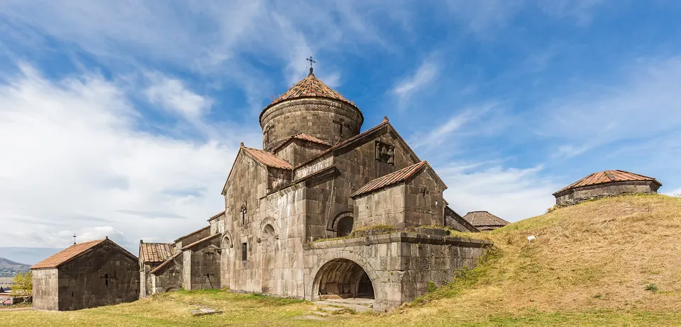
- Haghpat MonasteryMonastery 1.4 km 410 m lower
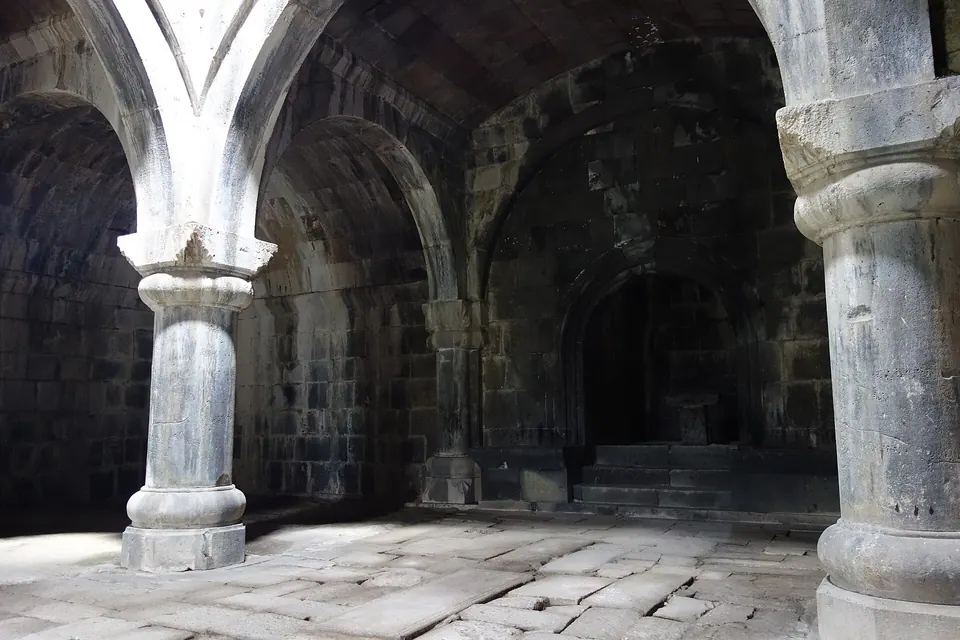
- Hamazasp gavit, HaghpatChurch 1.4 km 421 m lower
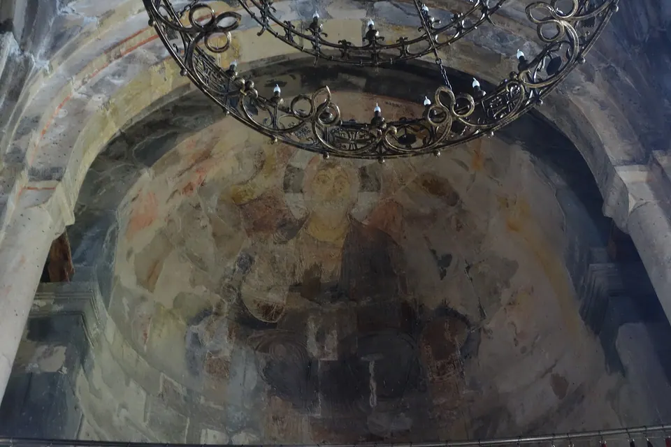
- Surb Nshan Cathedral, HaghpatChurch 1.4 km 421 m lower
Nature nearby
- Surb LuysPeak 1.7 km 431 m higher
- Minaral waterSpring 3.8 km 95 m higher
- ArjaglukhPeak 3.9 km 485 m higher
- KarutPeak 4.5 km same level
- AknerasarPeak 5.1 km 204 m higher
Stay nearby
- Guesthouse MaryGuesthouse 1.5 km 456 m lower
- HaghpatHotel 1.5 km 435 m lower
- B&B EdemGuesthouse 1.6 km 458 m lower
- Guesthouse in HaghpatGuesthouse 1.7 km 474 m lower
- ColibriHotel 1.7 km 473 m lower
Eat nearby
- Restaurant in HaghpatRestaurant 1.5 km 435 m lower
- Restaurant in HaghpatRestaurant 2.0 km 517 m lower
- Zarni-ParniRestaurant 2.1 km 651 m lower
- Nice FoodFast food 2.1 km 790 m lower
- Lastuer RestaurantRestaurant 2.4 km 602 m lower
Services nearby
- Fuel in HaghpatFuel 2.4 km 767 m lower
- AmbulatoriaHospital 3.4 km 437 m lower
- Hatsi PurBakery 3.5 km 728 m lower
- EV charging in AknerEV charging 3.6 km 712 m lower
- Mini MarketConvenience store 5.8 km 446 m lower
- ACBAATM 5.9 km 443 m lower
Distances in the "nearby" lists are straight-line; the height difference shows how much climbing a short distance can hide here.