Getting there
1,118 m above the Lernajur river, which runs 4.1 km away in a straight line.
| From | Road distance | Drive time |
|---|---|---|
| Vanadzor | 28.3 km | 1 h 19 min |
| Alaverdi | 73.4 km | 2 h 06 min |
| Stepanavan | 50.3 km | 1 h 41 min |
| Yerevan | 81.4 km | 2 h 15 min |
| Tbilisi | 185.5 km | 3 h 50 min |
Details
- Type
- Peak
- Where
- 4.2 km from Lernajur (straight line)
- Elevation
- 2,750 m
Light
Golden hour is when the sun is less than 6° above the horizon — the warm light for photos. In deep gorges the sun leaves the valley floor earlier.
Photos taken nearby
From Wikimedia Commons, within 1 km. Click a photo for its author and licence.
Weather at Lekasar
Loading the forecast…
Forecast for 2,750 m from Open-Meteo.
Sights nearby
- MaturChurch 6.4 km 1,165 m lower
- Fairy Tale Pioneer CampAttraction 7.0 km 974 m lower
- GabrielmukelArchaeological site 8.5 km 1,084 m lower
- Surb Gabriel MaturChurch 8.6 km 1,084 m lower
- KhachChurch 8.6 km 1,084 m lower
- St. John's Church, LernapatChurch 8.6 km 1,214 m lower
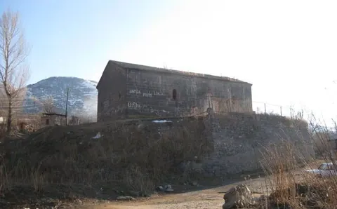
Nature nearby
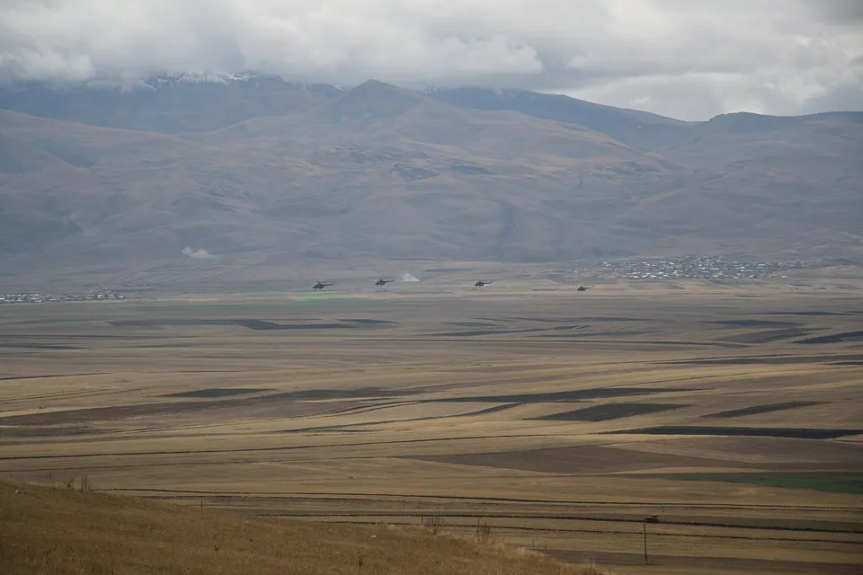
Eat nearby
- Restaurant in TsakhkotsRestaurant 6.3 km 1,196 m lower
- Far From World CottagesCafe 6.4 km 1,196 m lower
- Mountains Eco HouseCafe 8.3 km 1,262 m lower
- Lernapat banquet hallRestaurant 8.7 km 1,221 m lower
Distances in the "nearby" lists are straight-line; the height difference shows how much climbing a short distance can hide here.