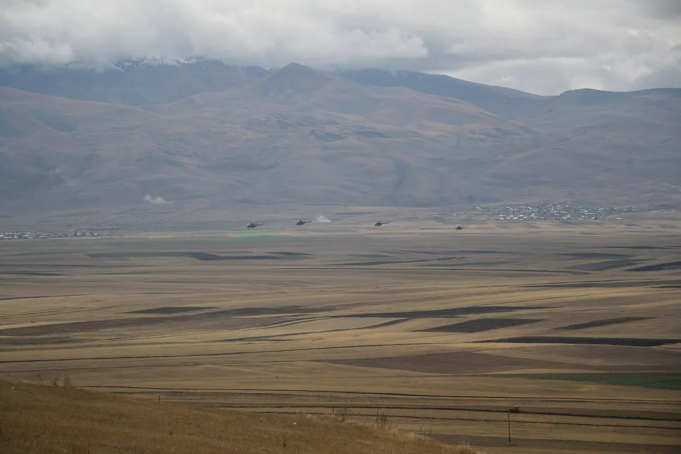
Spitak Pass is a pass in Armenia crossing the Pambak mountains from Aragatsotn Province to Lori Province at height 2,378m. The M3 highway (Armenia) runs via the pass.
Getting there
848 m above the Pambak river, which runs 4.1 km away in a straight line.
No mapped road reaches it: the nearest road is about 450 m away, so plan to walk the last stretch.
| From | Road distance | Drive time |
|---|---|---|
| Vanadzor | 28.8 km | 55 min |
| Alaverdi | 73.8 km | 1 h 42 min |
| Stepanavan | 50.8 km | 1 h 17 min |
| Yerevan | 103 km | 2 h 10 min |
| Tbilisi | 186 km | 3 h 26 min |
Details
- Type
- Peak
- Where
- 3.8 km from Arjahovit (straight line)
- Elevation
- 2,320 m
Light
Golden hour is when the sun is less than 6° above the horizon — the warm light for photos. In deep gorges the sun leaves the valley floor earlier.
Photos taken nearby
From Wikimedia Commons, within 1 km. Click a photo for its author and licence.
Weather at Spitak
Loading the forecast…
Forecast for 2,320 m from Open-Meteo.
Sights nearby
- Fairy Tale Pioneer CampAttraction 2.1 km 544 m lower
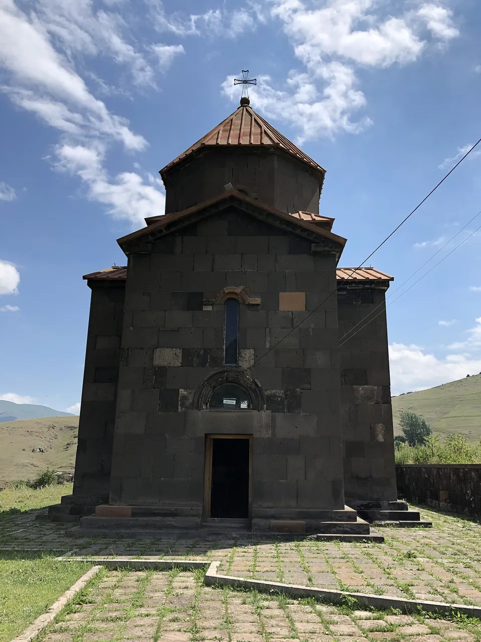
- Surb Gevorg ChurchChurch 3.6 km 767 m lower
- MaturChurch 4.2 km 735 m lower
- GabrielmukelArchaeological site 5.7 km 654 m lower
- Surb Gabriel MaturChurch 5.7 km 654 m lower
- KhachChurch 5.7 km 654 m lower
Nature nearby
- NjuygPeak 3.5 km 149 m higher
- Far From World CottagesPark 4.0 km 766 m lower
- LekasarPeak 5.5 km 430 m higher
- Lerneri Eko TunPark 5.7 km 832 m lower
- KarmirkarPeak 6.2 km 53 m lower
Stay nearby
- YMCA hostelHostel 5.9 km 807 m lower
- AygMotel 9.9 km 921 m lower
Eat nearby
- Restaurant in TsakhkotsRestaurant 4.0 km 766 m lower
- Far From World CottagesCafe 4.0 km 766 m lower
- M&S Food CourtFast food 4.6 km 817 m lower
- Mountains Eco HouseCafe 5.7 km 832 m lower
- Tezh KrakFast food 6.0 km 783 m lower
Services nearby
- EV charging in KaradzorEV charging 4.6 km 829 m lower
- Fuel in KaradzorFuel 4.6 km 831 m lower
- Fuel in KaradzorFuel 4.6 km 824 m lower
- Fuel in KaradzorFuel 4.9 km 798 m lower
- Fuel in KaradzorFuel 4.9 km 799 m lower
- Fuel in SpitakFuel 5.8 km 802 m lower
Distances in the "nearby" lists are straight-line; the height difference shows how much climbing a short distance can hide here.