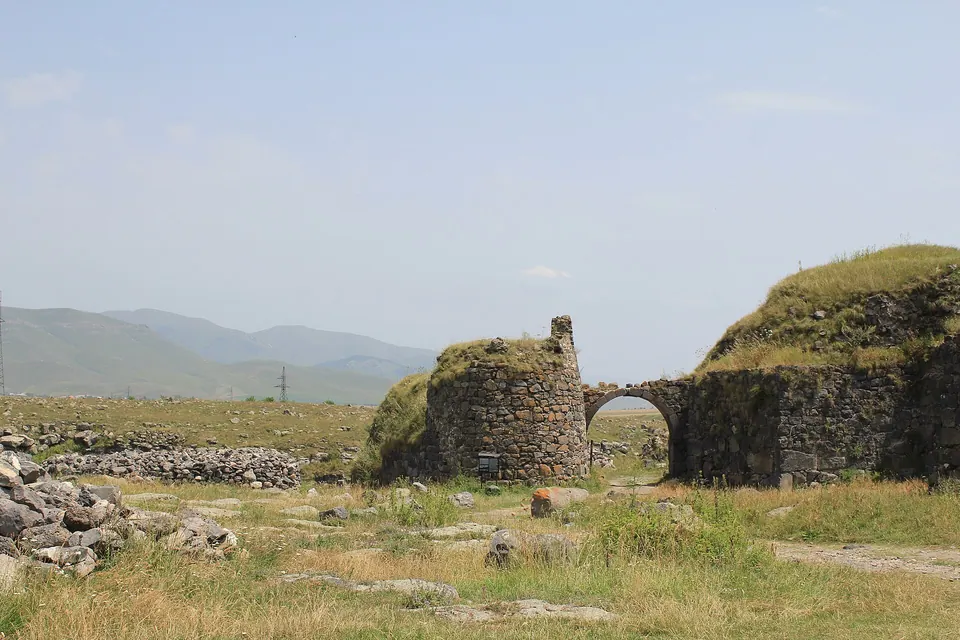
The ruined capital of the medieval Kiurikian kingdom, on a natural fortress between two gorges.
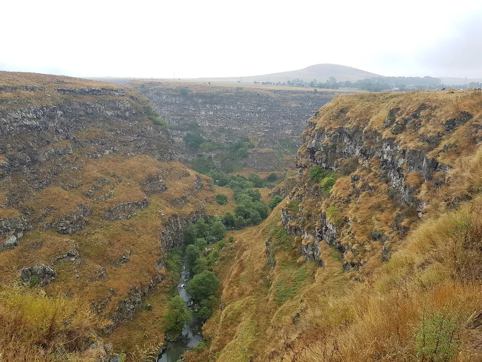
King David Anhoghin built Lori Berd in the 11th century and made it the capital of his kingdom; the Mongols took it in the 1230s. What remains is a long defensive wall, a bathhouse, churches and the outline of a whole medieval town, with sheer drops on both sides into the Dzoraget and Urut gorges. A medieval bridge crosses the gorge just below.
Good to know
- Free and always open.
- Walk down to the old bridge and back for a one-hour loop.
Read more: Wikipedia: Lori Fortress
Getting there
55 m above the Urut river, which runs 200 m away in a straight line.
| From | Road distance | Drive time |
|---|---|---|
| Vanadzor | 41.8 km | 1 h 10 min |
| Alaverdi | 47.1 km | 1 h 11 min |
| Stepanavan | 6.8 km | 30 min |
| Yerevan | 145.3 km | 2 h 53 min |
| Tbilisi | 139.8 km | 2 h 37 min |
Details
- Type
- Castle
- Where
- Amrakits
- Elevation
- 1,378 m
- Built
- 11th c.
- Entry
- Fee charged
Light
Golden hour is when the sun is less than 6° above the horizon — the warm light for photos. In deep gorges the sun leaves the valley floor earlier.
Photos taken nearby
From Wikimedia Commons, within 1 km. Click a photo for its author and licence.
Weather at Lori fortress
Loading the forecast…
Forecast for 1,378 m from Open-Meteo.
On these routes
- A Lori weekend from Yerevan 2 days
- Transcaucasian Trail through Lori hike, Multi-day
Sights nearby
- Lori KamurjMonument 250 m 39 m lower
- Viewpoint in AmrakitsViewpoint 250 m same level
- Getnandzav KarandzavAttraction 400 m same level
- Lori BerdArchaeological site 500 m same level
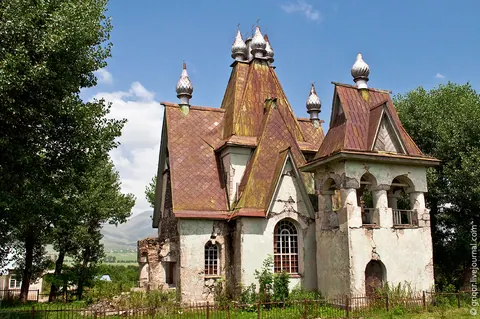
- Tserkov Nikolaya ChudotvortsaChurch 1.0 km same level
- Mayori dzorAttraction 2.4 km 52 m lower
Nature nearby
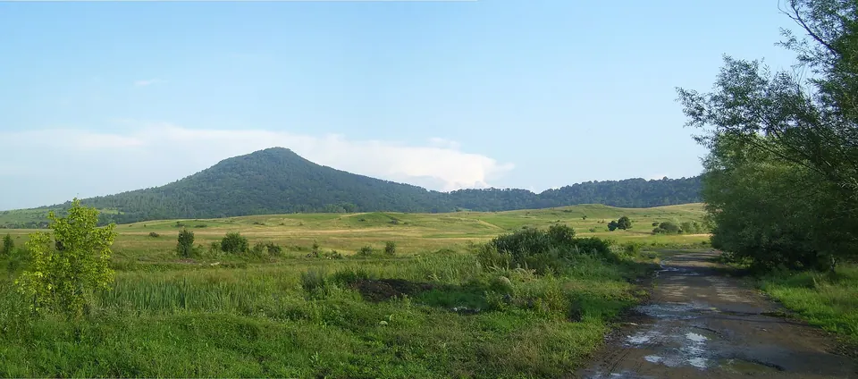
- Hill ShirmasarPeak 1.9 km 101 m higher
- ArjasarPeak 3.2 km 420 m higher
- VoskanPeak 3.7 km 285 m higher
- Gorodskoy SadPark 4.0 km 30 m higher
- Hill LanjerPeak 4.0 km 234 m higher
Stay nearby
- Campsite in AmrakitsCampsite 500 m same level
- Hotel in Lori BerdHotel 2.5 km same level
- Aleya HotelHotel 3.6 km 50 m higher
- Stepanavan HouseGuesthouse 3.7 km 60 m higher
- Lori lejanApartment 3.7 km 131 m higher
Eat nearby
- Cafe in StepanavanCafe 3.5 km same level
- CarahungeCafe 4.1 km 28 m higher
- Inna PizzaFast food 4.1 km same level
- SlobodkaRestaurant 4.1 km 25 m higher
- Major’s houseRestaurant 4.1 km 54 m higher
Services nearby
- Fuel in AmrakitsFuel 350 m same level
- Fuel in Lori BerdFuel 1.8 km same level
- Fuel in Lori BerdFuel 2.3 km same level
- PharmacyPharmacy 3.2 km same level
- Haypost 1906Post office 3.5 km same level
- HarutyunyannerSupermarket 3.9 km same level
Distances in the "nearby" lists are straight-line; the height difference shows how much climbing a short distance can hide here.