Lori ProvinceԼոռու մարզ
0

↑ ↓ to move, Enter to open. Searches English, Armenian and Russian names.

A Lori weekend from Yerevan

Canyon monasteries on day one, the plateau, Lori Berd and the dendropark on day two.
2 days from Yerevan. Car. 210 km and about 5 h 08 min of driving between the stops.

Open the route in Google Maps

A Lori weekend from Yerevan
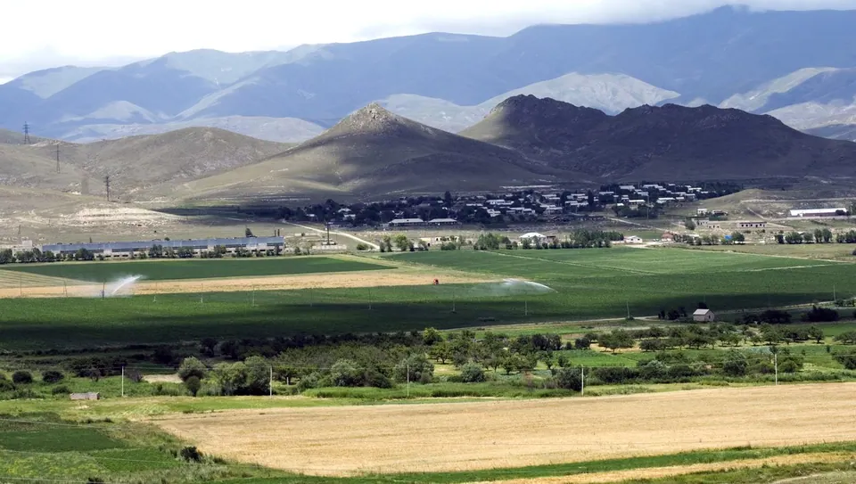
Photo: Mariannaqwe, CC BY-SA 3.0

Day 1: Into the canyon

103.0 km by road, about 1 h 53 min at the wheel (without stops). GPX

  1. 10:00

    Spitak

    Memorial town

    Short stop at the 1988 earthquake memorial on the M3.

  2. Drive 21.3 km, about 23 min

    11:00

    Vanadzor

    City

    Coffee in Vanadzor.

  3. Drive 31.1 km, about 33 min, climbing 690 m

    12:30

    Hovhannes Tumanyan House Museum

    Museum

    Dsegh and Tumanyan's house; lunch in the village.

  4. Drive 30.9 km, about 32 min, climbing 701 m

    15:00

    Odzun Church

    Church

    An early domed basilica on the canyon rim, with a funerary monument unlike any other in Armenia.

  5. Drive 19.7 km, about 25 min, climbing 425 m

    17:00

    Haghpat Monastery

    Monastery

    Sleep in Haghpat.

750100012501500 0 km10 km20 km30 km40 km50 km60 km70 km80 km90 km100 km
Road elevation, day 1. Highest point 1,543 m, lowest 669 m. Terrain model: Copernicus DEM (~90 m), via Open-Meteo.

Day 2: The plateau

107.4 km by road, about 3 h 15 min at the wheel (without stops). GPX

  1. 09:00

    Sanahin Monastery

    Monastery

    Early, before the groups.

  2. Drive 30.7 km, about 40 min, climbing 719 m

    11:30

    Hnevank Monastery Complex

    Monastery

    Detour via Kurtan.

  3. Drive 38.4 km, about 1 h 07 min, climbing 741 m

    13:30

    Lori fortress

    Fortress

    Picnic in the fortress.

  4. Drive 22.4 km, about 59 min, climbing 514 m

    15:30

    Sochut Dendropark

    Arboretum

    A 35-hectare forest garden planted by the Polish forester Edmund Leonowicz above Gyulagarak.

  5. Drive 15.9 km, about 29 min, climbing 162 m

    17:30

    Stepanavan

    Town

    Back to Yerevan via Vanadzor (about 3 h).

7501000125015001750 0 km10 km20 km30 km40 km50 km60 km70 km80 km90 km100 km
Road elevation, day 2. Highest point 1,602 m, lowest 719 m. Terrain model: Copernicus DEM (~90 m), via Open-Meteo.

Before you go

  • Fuel up in Vanadzor or Alaverdi — village stations are few.

Road distances and times from OSRM on OpenStreetMap roads; real driving is slower on mountain roads and in villages.