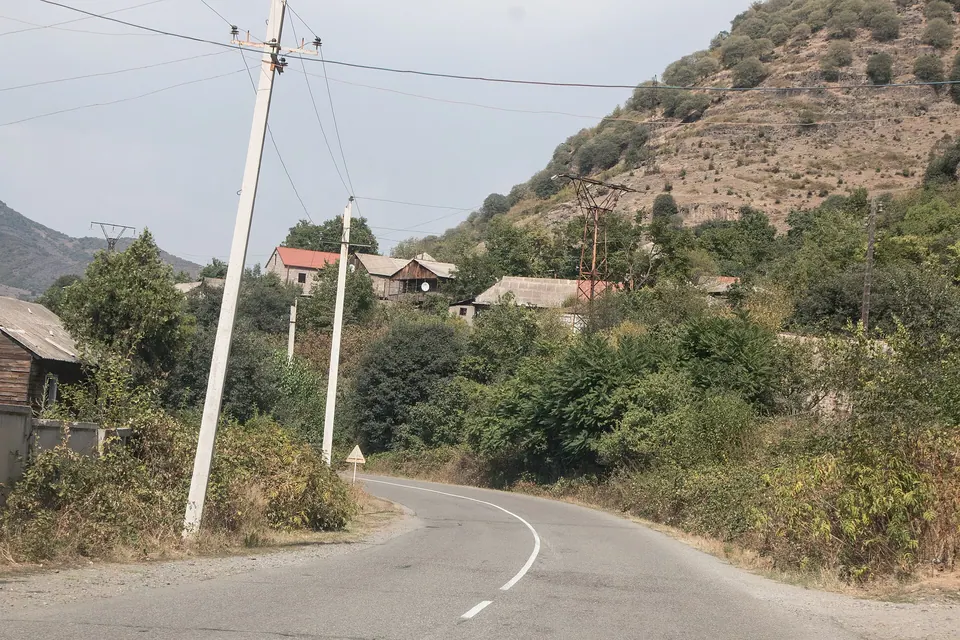
Village in Lori Province of Armenia.
Read about Neghots on Wikipedia
Getting there
On the Debed river.
| From | Road distance | Drive time |
|---|---|---|
| Vanadzor | 61.8 km | 1 h 07 min |
| Alaverdi | 15.4 km | 18 min |
| Stepanavan | 56 km | 58 min |
| Yerevan | 177 km | 3 h 06 min |
| Tbilisi | 98.3 km | 1 h 52 min |
Details
- Type
- Village
- Where
- Debed Canyon
- Elevation
- 580 m
- Population
- 246
Light
Golden hour is when the sun is less than 6° above the horizon — the warm light for photos. In deep gorges the sun leaves the valley floor earlier.
Photos taken nearby
From Wikimedia Commons, within 1 km. Click a photo for its author and licence.
Weather at Neghots
Loading the forecast…
Forecast for 580 m from Open-Meteo.
Sights nearby
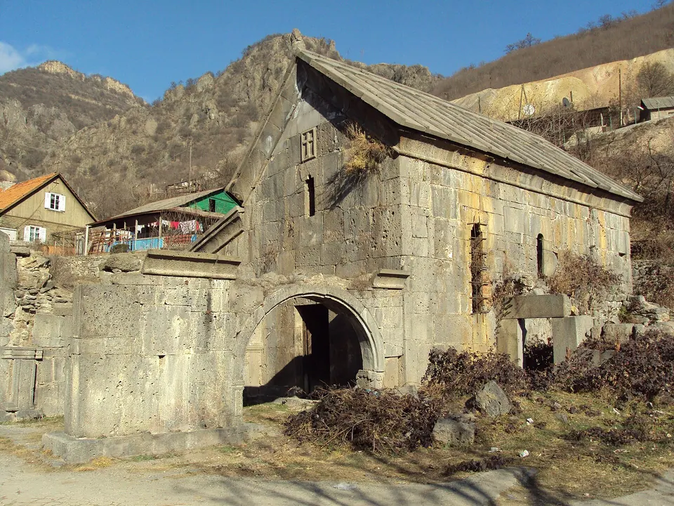
- Saint George churchChurch 1.4 km 153 m higher
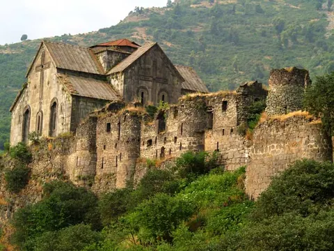
- Akhtala MonasteryChurch 1.4 km 128 m higher
- Trinity churchChurch 1.8 km 150 m higher
- Aramyants Castle / MansionManor 2.2 km 138 m higher
- Viewpoint near TsaghkashatViewpoint 4.6 km 1,157 m higher
- Khachkar Garik Sargsyani HishatakinMonument 5.6 km 633 m higher
Nature nearby
- GugutPeak 2.7 km 999 m higher
- KarutPeak 3.3 km 856 m higher
- KarakatarPeak 4.0 km 689 m higher
- KhratanotsPeak 4.0 km 1,007 m higher
- ArjaglukhPeak 5.4 km 1,331 m higher
Stay nearby
- Hotel in NeghotsHotel 550 m same level
- Elen B&BGuesthouse 550 m same level
- CypressGuesthouse 2.8 km 169 m higher
- Camping freeCampsite 2.9 km 32 m lower
- Camping freeCampsite 2.9 km 32 m lower
Eat nearby
Distances in the "nearby" lists are straight-line; the height difference shows how much climbing a short distance can hide here.