Getting there
62 m above the Vordnav river, which runs 800 m away in a straight line.
| From | Road distance | Drive time |
|---|---|---|
| Vanadzor | 23.9 km | 27 min |
| Alaverdi | 69 km | 1 h 14 min |
| Stepanavan | 45.9 km | 49 min |
| Yerevan | 93.7 km | 1 h 36 min |
| Tbilisi | 181.1 km | 2 h 58 min |
Details
- Type
- Memorial
- Where
- Spitak
- Elevation
- 1,603 m
Light
Golden hour is when the sun is less than 6° above the horizon — the warm light for photos. In deep gorges the sun leaves the valley floor earlier.
Photos taken nearby
From Wikimedia Commons, within 1 km. Click a photo for its author and licence.
Weather at Voinam-Uchastnikam Likvidatsii Posledstviy Zemlyatreseniya
Loading the forecast…
Forecast for 1,603 m from Open-Meteo.
Sights nearby
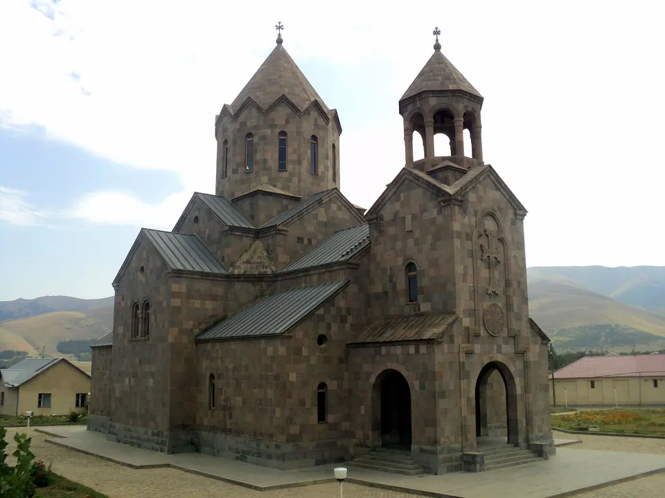
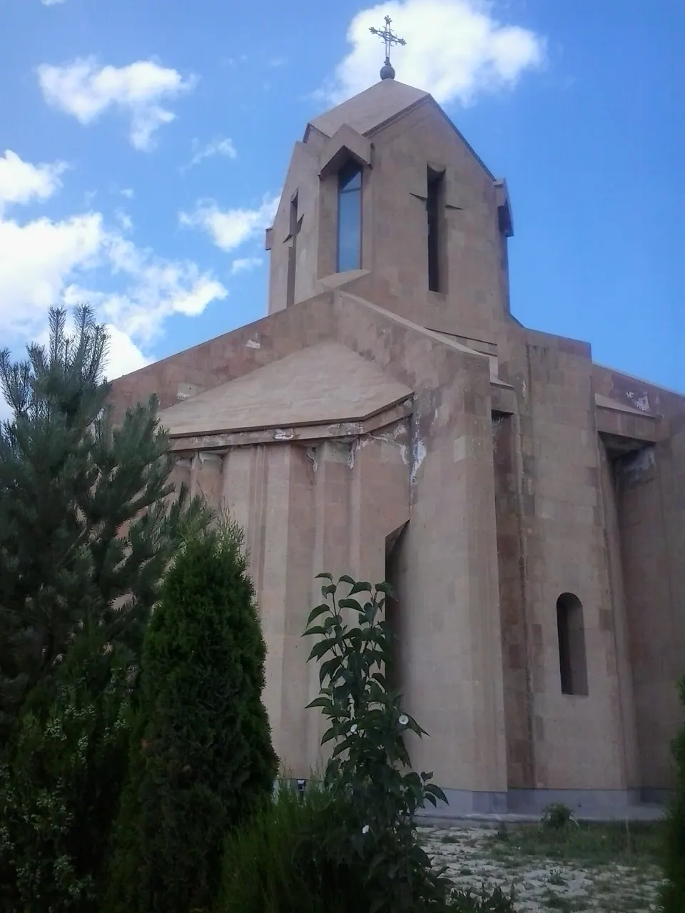
- St. Harutyun ChurchChurch 1.8 km 58 m lower
- Saint Astvatsatsin Church of ArevashoghChurch 4.7 km 95 m higher
- Chapel Surb Astvatsatsin (St. Mother of God)Church 4.9 km 397 m higher
- Fairy Tale Pioneer CampAttraction 5.1 km 173 m higher
- Caves of GeghasarArchaeological site 5.8 km 44 m higher
- MaternityMonument 6.3 km 62 m higher
Nature nearby
Stay nearby
- YMCA hostelHostel 2.4 km 90 m lower
- NANEGuesthouse 7.4 km 179 m higher
- Kemping NaneCampsite 7.4 km 179 m higher
Eat nearby
- Tezh KrakFast food 2.0 km 66 m lower
- M&S Food CourtFast food 5.6 km 100 m lower
- Cafe Nane Bar Restauran KafeCafe 7.4 km 179 m higher
Services nearby
- Fuel in SpitakFuel 400 m same level
- MpsFuel 400 m same level
- Fuel in SpitakFuel 450 m same level
- Spitak Medical CentreHospital 1.2 km same level
- HayPostPost office 1.5 km 55 m lower
- EGA MarketSupermarket 1.5 km 57 m lower
Distances in the "nearby" lists are straight-line; the height difference shows how much climbing a short distance can hide here.