Getting there
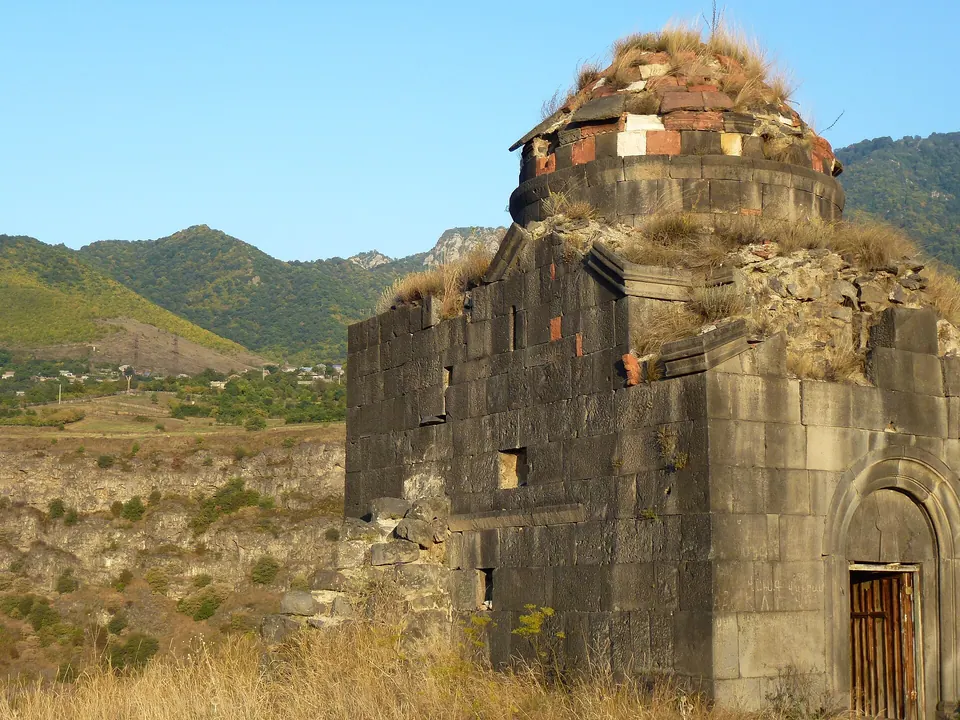
147 m above the Acher river, which runs 300 m away in a straight line.
| From | Road distance | Drive time |
|---|---|---|
| Vanadzor | 56.6 km | 1 h 05 min |
| Alaverdi | 10.2 km | 16 min |
| Stepanavan | 50.8 km | 56 min |
| Yerevan | 171.8 km | 3 h 04 min |
| Tbilisi | 111.2 km | 2 h 07 min |
Details
- Type
- Ruins
- Where
- Haghpat
- Elevation
- 868 m
Light
Golden hour is when the sun is less than 6° above the horizon — the warm light for photos. In deep gorges the sun leaves the valley floor earlier.
Photos taken nearby
From Wikimedia Commons, within 1 km. Click a photo for its author and licence.
Weather at Zarni-Parni caves
Loading the forecast…
Forecast for 868 m from Open-Meteo.
Sights nearby
- Kayan ChurchChurch 500 m 31 m lower
- Kayan FortressCastle 500 m 36 m lower
- Sepulchre of Ukanian FamilyTomb 650 m 137 m higher
- Khatunashen S. AstvatsatsinChurch 650 m 137 m higher
- Surb Nshan Gavit, HaghpatChurch 650 m 137 m higher
- St. Gregory, HaghpatChurch 650 m 137 m higher
Nature nearby
- ArajnaglukhPeak 2.0 km 558 m higher
- Surb LuysPeak 3.2 km 989 m higher
- KoshaberdPeak 3.3 km 279 m higher
- AknerasarPeak 4.1 km 762 m higher
- ManesPeak 4.2 km 487 m higher
Stay nearby
- ColibriHotel 400 m 85 m higher
- Kefilyan Family HotelHotel 450 m 41 m higher
- B&B EdemGuesthouse 450 m 100 m higher
- Guesthouse in HaghpatGuesthouse 450 m 84 m higher
- Gayane HotelHotel 550 m 57 m higher
Eat nearby
- Zarni-ParniRestaurant 100 m 93 m lower
- Restaurant in HaghpatRestaurant 400 m 41 m higher
- Restaurant in HaghpatRestaurant 650 m 123 m higher
- AtorikRestaurant 750 m 202 m lower
- AtorikRestaurant 800 m 202 m lower
Services nearby
- Fuel in HaghpatFuel 700 m 209 m lower
- Hatsi PurBakery 1.6 km 170 m lower
- EV charging in AknerEV charging 1.6 km 154 m lower
- AmbulatoriaHospital 1.9 km 121 m higher
- Mini MarketConvenience store 3.8 km 112 m higher
- ACBAATM 3.9 km 115 m higher
Distances in the "nearby" lists are straight-line; the height difference shows how much climbing a short distance can hide here.