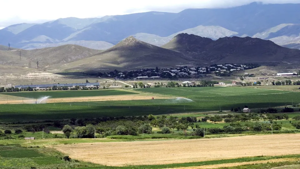
The town at the centre of the 1988 earthquake, rebuilt on a new site.
On 7 December 1988 a magnitude 6.8 earthquake destroyed Spitak and much of northern Armenia. The memorial and cemetery on the hill above the town are a quiet and moving stop on the M3.
Good to know
- On the way between Yerevan and Vanadzor.
Read more: Wikipedia: Spitak, Wikipedia: 1988 Armenian earthquake
Getting there
On the Pambak river.
| From | Road distance | Drive time |
|---|---|---|
| Vanadzor | 21.4 km | 23 min |
| Alaverdi | 66.5 km | 1 h 10 min |
| Stepanavan | 43.4 km | 45 min |
| Yerevan | 95.3 km | 1 h 37 min |
| Tbilisi | 178.6 km | 2 h 54 min |
Details
- Type
- Town
- Where
- Spitak & the west
- Elevation
- 1,543 m
- Population
- 12,662
- Built
- 1988
Light
Golden hour is when the sun is less than 6° above the horizon — the warm light for photos. In deep gorges the sun leaves the valley floor earlier.
Photos taken nearby
From Wikimedia Commons, within 1 km. Click a photo for its author and licence.
Weather at Spitak
Loading the forecast…
Forecast for 1,543 m from Open-Meteo.
On these routes
- A Lori weekend from Yerevan 2 days
- Yerevan to Tbilisi through Lori 1–2 days
Sights nearby
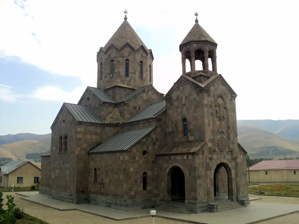
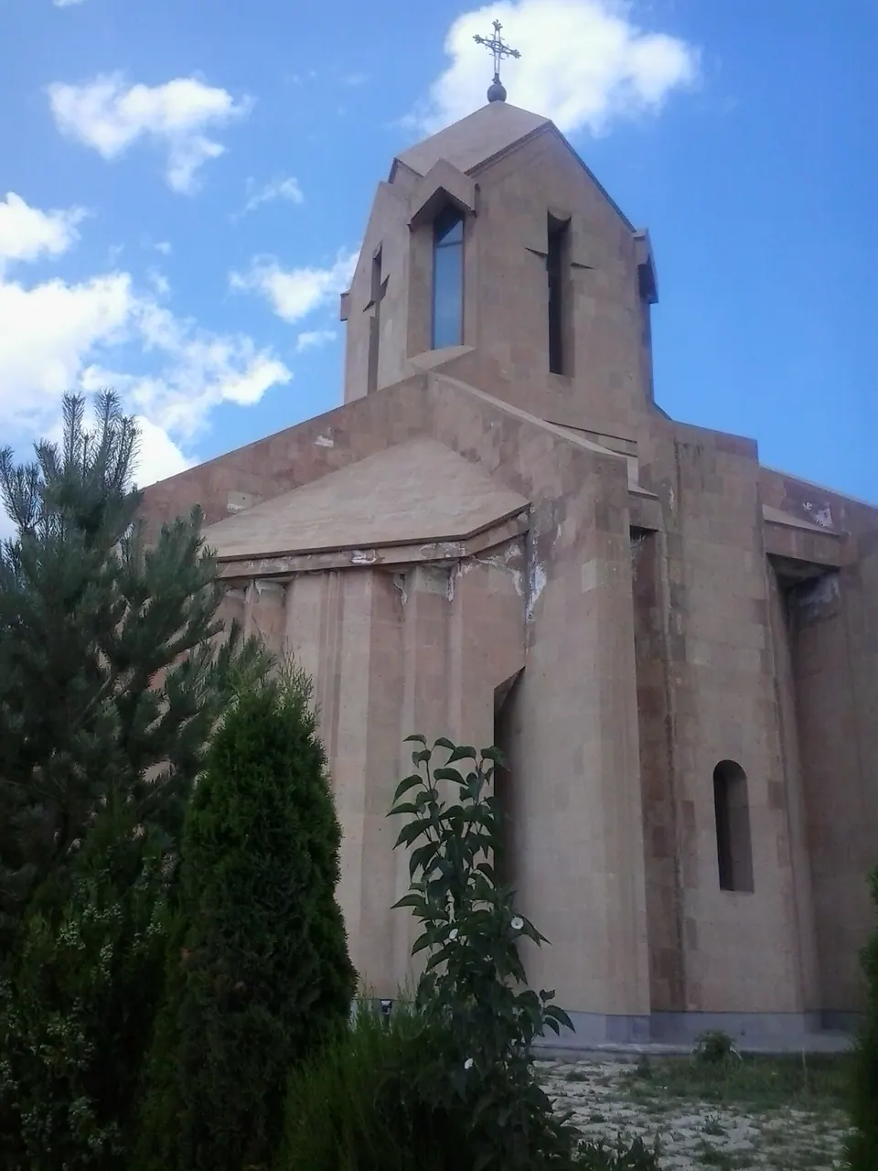
- St. Harutyun ChurchChurch 600 m same level
- Saint Astvatsatsin Church of ArevashoghChurch 3.4 km 155 m higher
- Fairy Tale Pioneer CampAttraction 4.5 km 233 m higher
Nature nearby
Stay nearby
- YMCA hostelHostel 800 m 30 m lower
Eat nearby
- Tezh KrakFast food 500 m same level
- M&S Food CourtFast food 4.1 km 40 m lower
Services nearby
- ArmeconombankBank 150 m same level
- HayPost 1804Post office 300 m same level
- EGA MarketSupermarket 300 m same level
- HayPostPost office 450 m same level
- ATM in SpitakATM 550 m same level
- DanielyanBakery 600 m same level
Distances in the "nearby" lists are straight-line; the height difference shows how much climbing a short distance can hide here.